
About us
We combine modern GPS-based survey technology with practical engineering expertise to deliver accurate, reliable, and legally compliant land and building solutions.With a strong focus on precision and transparency, Landmark supports property owners, builders, and developers at every stage—from land measurement to building approval.We specialize in GPS-based Digital Land Surveying, ensuring high accuracy and clear documentation for all types of land and construction requirements. Our services are designed to meet government standards and local authority regulations.


Abhilash Mathew
Founder & Co-Ordinator

Our Services
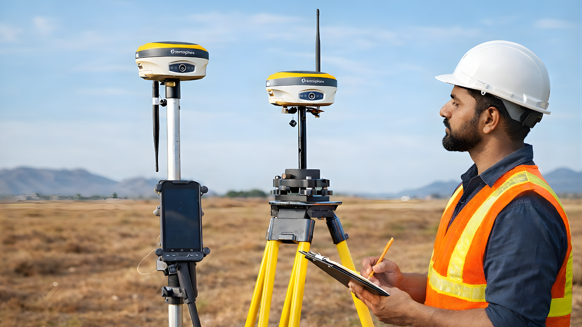
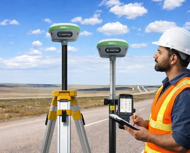
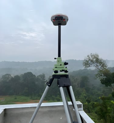
Digital Land Survey (GPS System)
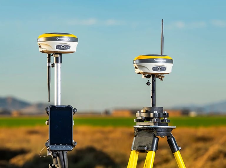
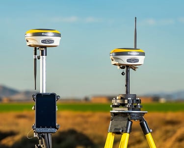
We provide high-accuracy digital land surveys using advanced GPS technology. This ensures precise measurements, clear boundaries, and legally reliable data. Ideal for land registration, construction planning, and dispute resolution.
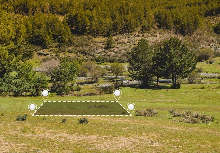
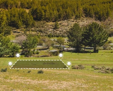


Land Sketch & Boundary Marking
Our land sketch and boundary marking services deliver clear, accurate layouts of your property. These sketches help in legal verification, planning approvals, and ownership clarity. Physical boundary marking ensures long-term reference and confidence.
We offer professional land subdivision services for residential and commercial properties. Each plot is accurately measured and clearly demarcated as per approved layouts. This ensures compliance with local regulations and smooth property transactions.
Subdivision & Plot Demarcation
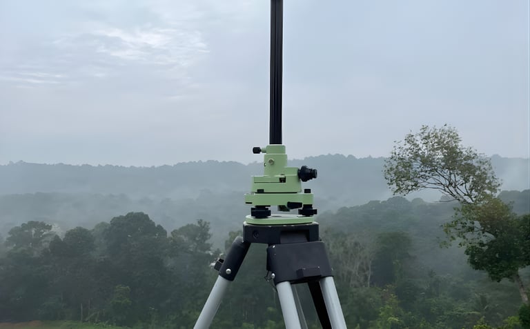
Contour Survey
Contour surveys provide detailed information about land elevation and slope. This data is essential for drainage planning, road works, and building design. Our surveys help engineers and architects plan projects efficiently.
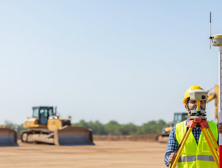
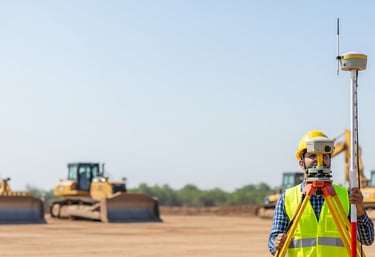


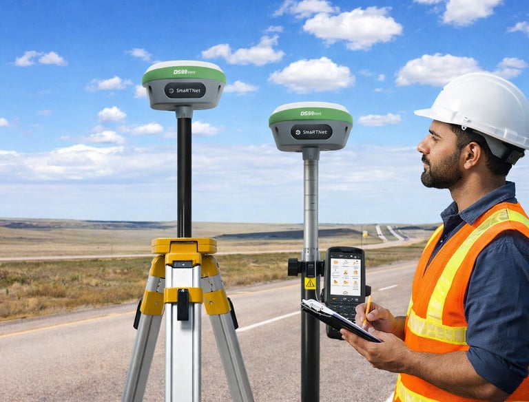
Set Out Survey
Set out surveys ensure that construction starts exactly as per the approved plan. We accurately mark building lines, columns, and reference points on site. This helps avoid errors and ensures structural accuracy.
We create functional and regulation-compliant building plans tailored to your requirements. Our designs balance aesthetics, space utilization, and safety standards. All plans are prepared to meet local authority approval norms.
Building Plan & Design
Estimate & Cost Planning


Our detailed construction estimates help you plan your budget with confidence. We calculate material, labor, and execution costs accurately. This prevents unexpected expenses and ensures financial control throughout the project.


Building Permit Assistance
We provide complete assistance for obtaining building permits and approvals. Our team handles documentation, drawings, and coordination with authorities. This ensures a smooth and hassle-free approval process.
Our technical site supervision ensures construction is carried out as per approved drawings. We monitor quality, measurements, and compliance at every stage. This helps maintain safety, durability, and overall project standards.
Site Supervision
Why Choose Landmark?
Registered & Licensed Surveyor
Advanced GPS Survey Technology
Accurate, Legal, and Reliable Reports
Complete Support from Survey to Permit
Transparent Pricing & Timely Delivery
Our Team
Paul Mathew


Suresh Kumar
Meghanadh


Anzeer P Sulaiman
Supervisor
Senior Surveyor
Surveyor & Civil Draughtsman


Unnikrishnan
Surveyor & Civil Draughtsman
Surveyor & Designer


Abcel Babu
Diploma in Civil Engg.
Get in Touch
Whether you are planning construction, land subdivision, or documentation services, Landmark is here to assist you with accuracy and professionalism.We handle every project with careful attention, using modern technology and proven engineering expertise.Our team is committed to providing clear guidance, reliable solutions, and complete support at every stage.
Contact us today to begin your project with confidence and precision.
Landmark provides reliable digital land survey and building design services using advanced GPS technology. Led by a licensed surveyor, we deliver accurate, compliant, and end-to-end solutions across multiple states with professionalism and transparency.
Address: Thodupuzha, Chemmannar, Kambilikandam, Munnar, Mundakkayam
Email: landmarkbc1980@gmail.com
Phone: +919074779541
© 2025 Landmark.All rights reserved.